Software & 3DGS Published 1 min read
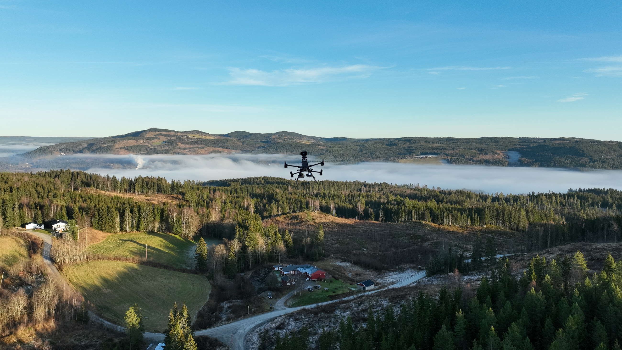
Alos is a two-person reality-capture company in Moelv, Norway. We fly drones for industrial clients — mapping, inspection, and long-term documentation — and we build software for the geospatial industry, from FlyKart, our free 3D drone map of Norway, to DroneCompare and the Alos Cloud platform.
This blog is where both halves meet. Expect two kinds of posts:
- Field work: project stories from Norwegian construction sites, wind farms, and quarries — mostly in Norwegian, because that is who they are for.
- Software & 3DGS: engineering notes on Gaussian splatting, photogrammetry pipelines, CesiumJS, and the tools we open-source along the way — in English, for the global community.
Everything we publish here is grounded in work we actually do. No content calendar filler — if a post exists, it is because we built, flew, or learned something worth writing down.
